My Summer in the Swamp: An ACRC Research Experience
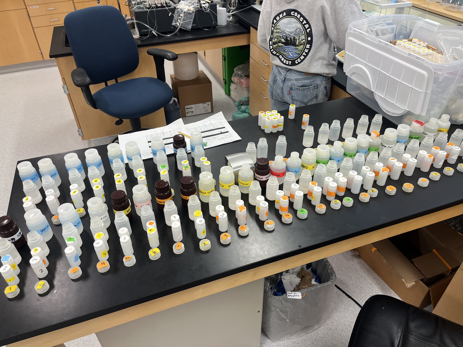
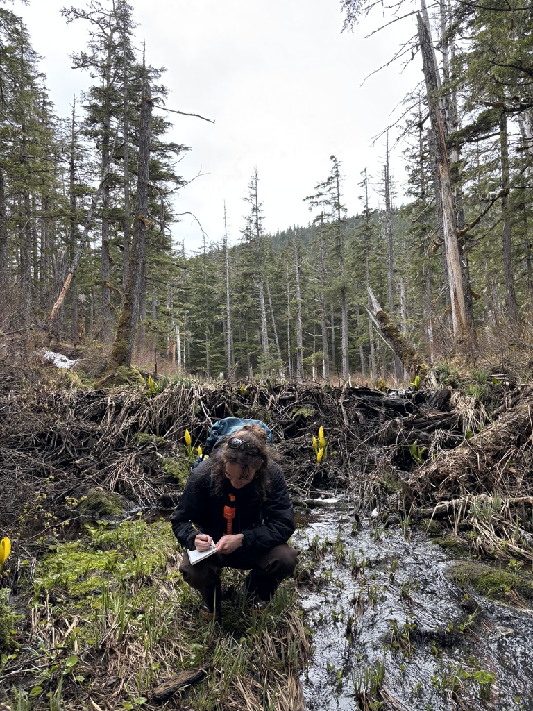
This summer I was lucky enough to work as a research assistant for the Alaska Coastal Rainforest Center. I was born and raised in Juneau, but it wasn’t until I returned from my undergraduate experience down south that I realized I dreamed of having a job where I could be outside and soak in all the magic of Southeast Alaska. Last year I began taking environmental science classes at the University of Alaska Southeast so I could start my journey towards graduate school. Working at ACRC was such a wonderful experience that presented me with a wide range of opportunities to explore the many areas of environmental science. Throughout the summer, I worked with graduate/PhD students, professors, research scientists, and my fellow classmates. I was quickly enamored by the fieldwork, wearing waders and rubber gloves to tromp out to a beaver pond and collect water in a part of Juneau I had never been before. Bug nets became an important accessory as we bushwhacked further into the summer months. In the lab, we learned how to process water samples to analyze alkalinity, turbidity, Total Suspended Solids, and absorbance. We also spent time sorting bugs under a microscope, patching waders, and learning the importance of a triple rinse.
 | 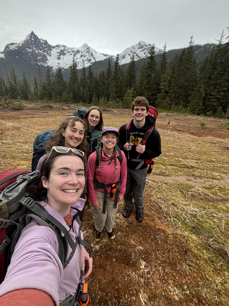 Field day with Elizabeth Bruch, Kelsey Ruzich, Jasmine Louwagie, and Robbie Gabel. |
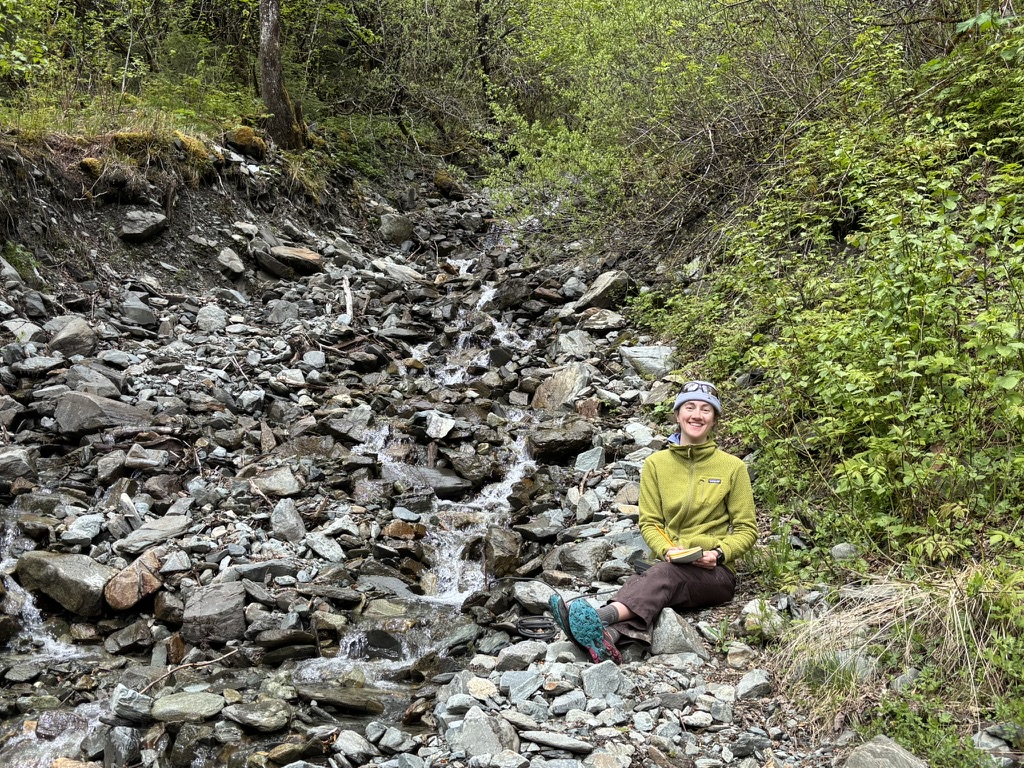
For my individual project this summer, I was curious about how landslides impacted water chemistry in Southeast Alaska. Landslides are becoming increasingly common across Southeast as we continue to see large amounts of precipitation in short time periods. This further drove my interest in researching how landslides are impacting the water around us. There are many known landslides throughout the Juneau road system. I focused on the two landslides up Salmon Creek Dam, one landslide on the Flume Trail, one landslide at the end of Wickersham Ave, and the two recent landslides on the Auke Lake Trail. Each site had a landslide with a stream running through it, and a reference stream that we determined was representative of an undisturbed stream in the area. I visited each site three times this summer, carefully monitoring the weather to find the nastiest, rainiest days.
At each site, we collected water samples to bring back to the lab to run alkalinity, turbidity, and Total Suspended Solids (TSS). In the field, we recorded physical data using an instrument called a YSI to determine the temperature, dissolved oxygen content, turbidity, and specific conductivity of the water. Despite my best efforts to sample on the rainiest days this summer, we ended up having an abnormally dry summer, causing the Wickersham and Auke Lake sites to be too dry to sample on two of the three sample days. Despite the lack of consistent flow in our sites and the small number of data points, we concluded that the temperature of water in landslide streams was higher than in reference streams and, in turn, dissolved oxygen was lower in landslide streams and higher in reference streams. Further research could examine the impacts on salmon habitat from increased water temperature caused by landslides.
Although the project didn’t yield as much information as I was hoping, it was an incredible opportunity to learn all the different aspects of preparing and executing a project in the field. It was incredibly rewarding to see the project throughout the whole process and gain confidence each time we sampled.