Stream Discharge
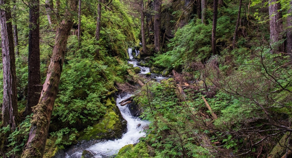
Streamflow Models in Southeast Alaska
ACRC is working with partners to develop storm event models to aid in infrastructure planning such as culvert design and hydropower development.
Stream dynamics in the dramatic topography of Southeast Alaska are expected to shift over time with changes in climate, but the resolution of most global climate models of future weather is too coarse to capture the spatial variation of this landscape. Resource managers and city planners need finer scale, more accurate models that predict changes in flow for small, ungaged watersheds. Understanding changes to streamflow are essential for infrastructure planning such as culvert replacement, bridge design, hydropower development, drinking water reservoir location identification, and floodplain restoration. Projections of peak flow are particularly important for culvert and bridge engineering, while seasonal variation and low flows may be more significant for hydropower and fish habitat restoration planning.
ACRC is working with the Alaska Climate Adaptation Science Center and agency partners to create predictive stream discharge models for Southeast Alaska watersheds, and to deliver watershed-scale information in a user-friendly system. As a first step towards this goal, UAF postdoctoral researcher Rick Lader has created fine-scale climate models for Southeast Alaska that can be incorporated into new discharge models being developed by ACRC collaborator David Hill at Oregon State University.
Contact
- Allison Bidlack (albidlack@alaska.edu)
Collaborators
- Rick Lader, AK CASC (rtladerjr@alaska.edu)
- Aaron Jacobs, NOAA (aaron.jacobs@noaa.gov)
- Michael Knapp (michael.knapp@alaska.gov)
- Katherine Prussian,USFS (katherineprussian@fs.fed.us)
- Eran Hood, UAS (ewhood@alaska.edu, Website)
- Uma Bhatt, UAF (usbhatt@alaska.edu)
- Chris Sergeant (chris.sergeant@gmail.com)
Partners & Funders